Project Information
Project Name : A Real-Time Sensor Based Pothole Mapping and Visualization System
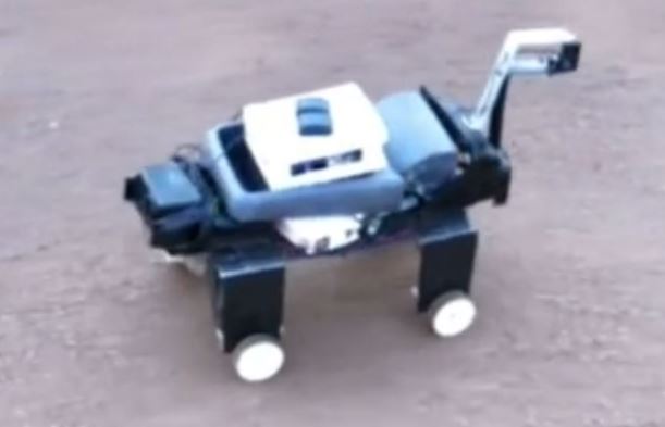
Project Theme : Autonomous GPS-Based Terrain Mapping
Funder Name : Islamic University In Uganda
Running Dates : Jun 12th, 2019 to
Oct 31st, 2019
Project Description
The goal of this project is to automatically capture the depth and location of a pothole as the agent moves. At the end of the journey, a pothole map is generated with pothole spots clearly marked.
Project Team
FullName : Miss.Nankabirwa Sharifa
FullName : Mr.Muhammad Mansoor
FullName : Mr.Mwaka Lucky (Horus)
FullName : Dr.Umar Yahya
FullName : Eng.Kasagga Usama
FullName : Dr.Abdal Kasule